2009 : North from Whitehole Hill
Introduction
The photograph on this page of 2009 : North from Whitehole Hill by Maurice Pullin as part of the Geograph project.
The Geograph project started in 2005 with the aim of publishing, organising and preserving representative images for every square kilometre of Great Britain, Ireland and the Isle of Man.

There are currently over 7.5m images from over 14,400 individuals and you can help contribute to the project by visiting https://www.geograph.org.uk
2009 : North from Whitehole Hill
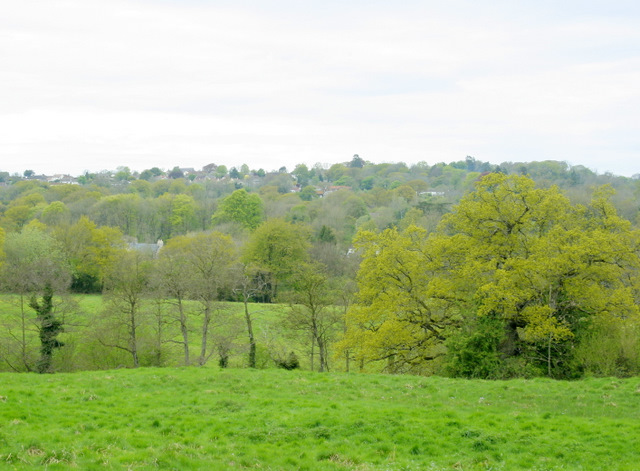
Image: © Maurice Pullin Taken: 1 May 2009
Glimpses of buildings between Ham and Coleford are seen among the trees. The headwaters of Mells Stream are in the valley.
Images are licensed for reuse under creativecommons.org/licenses/by-sa/2.0
Image Location
Latitude
51.232796
Longitude
-2.460851