New Parks Boulevard
Introduction
The photograph on this page of New Parks Boulevard by Peter Whatley as part of the Geograph project.
The Geograph project started in 2005 with the aim of publishing, organising and preserving representative images for every square kilometre of Great Britain, Ireland and the Isle of Man.

There are currently over 7.5m images from over 14,400 individuals and you can help contribute to the project by visiting https://www.geograph.org.uk
New Parks Boulevard
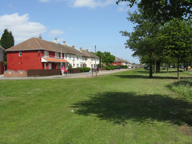
Image: © Peter Whatley Taken: 7 May 2009
Classy name for a rather downbeat estate, separated from the Leicester ring road by an expanse of grass and planted areas.
Images are licensed for reuse under creativecommons.org/licenses/by-sa/2.0
Image Location
Latitude
52.639412
Longitude
-1.186593