2009 : Memorial Hall, Leigh upon Mendip
Introduction
The photograph on this page of 2009 : Memorial Hall, Leigh upon Mendip by Maurice Pullin as part of the Geograph project.
The Geograph project started in 2005 with the aim of publishing, organising and preserving representative images for every square kilometre of Great Britain, Ireland and the Isle of Man.

There are currently over 7.5m images from over 14,400 individuals and you can help contribute to the project by visiting https://www.geograph.org.uk
2009 : Memorial Hall, Leigh upon Mendip
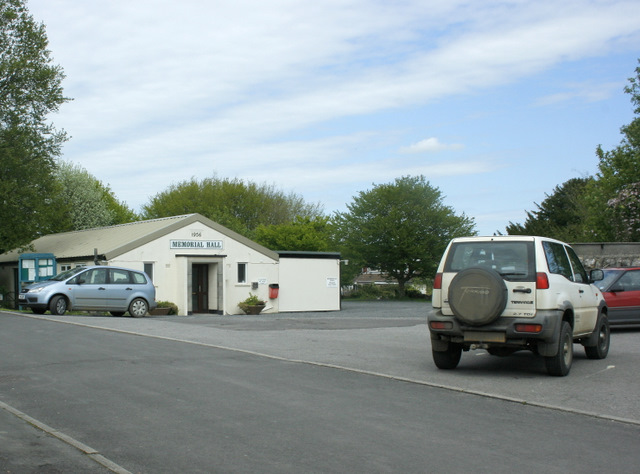
Image: © Maurice Pullin Taken: 1 May 2009
For more photos etc. of Leigh upon Mendip see http://www.somerset3d.co.uk/logos%20&%20pictures/town%20&%20village%20pages/leighuponmendip.htm#top Have been unable to find what the hall is a memorial of, nothing on the web, seems a bit late for WWII but it could be.
Images are licensed for reuse under creativecommons.org/licenses/by-sa/2.0
Image Location


Leaflet Map data © OpenStreetMap
Latitude
51.224775
Longitude
-2.442441