Bannister Road
Introduction
The photograph on this page of Bannister Road by Peter Whatley as part of the Geograph project.
The Geograph project started in 2005 with the aim of publishing, organising and preserving representative images for every square kilometre of Great Britain, Ireland and the Isle of Man.

There are currently over 7.5m images from over 14,400 individuals and you can help contribute to the project by visiting https://www.geograph.org.uk
Bannister Road
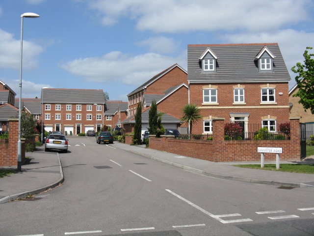
Image: © Peter Whatley Taken: 7 May 2009
Modern housing immediately off the main A5460 route from the M1 into Leicester city centre.
Images are licensed for reuse under creativecommons.org/licenses/by-sa/2.0
Image Location
Latitude
52.603752
Longitude
-1.177951