Footpath through the water meadows
Introduction
The photograph on this page of Footpath through the water meadows by Andrew Hill as part of the Geograph project.
The Geograph project started in 2005 with the aim of publishing, organising and preserving representative images for every square kilometre of Great Britain, Ireland and the Isle of Man.

There are currently over 7.5m images from over 14,400 individuals and you can help contribute to the project by visiting https://www.geograph.org.uk
Footpath through the water meadows
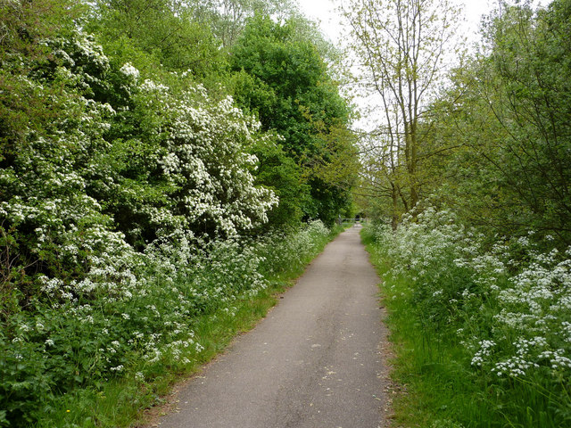
Image: © Andrew Hill Taken: 7 May 2009
Low lying ground near the town centre south of the River Linnet.
Images are licensed for reuse under creativecommons.org/licenses/by-sa/2.0
Image Location
Latitude
52.237517
Longitude
0.715831