Gate on Moretonhampstead Bridleway 18
Introduction
The photograph on this page of Gate on Moretonhampstead Bridleway 18 by Derek Harper as part of the Geograph project.
The Geograph project started in 2005 with the aim of publishing, organising and preserving representative images for every square kilometre of Great Britain, Ireland and the Isle of Man.

There are currently over 7.5m images from over 14,400 individuals and you can help contribute to the project by visiting https://www.geograph.org.uk
Gate on Moretonhampstead Bridleway 18
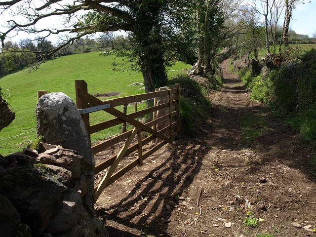
Image: © Derek Harper Taken: 2 May 2009
The bridleway makes a brief entry into SX7888 as it passes Upper Leign; here it about to re-enter Image as it gradually climbs towards Mardon Down. A lot of trees have been cut down to size along this stretch.
Images are licensed for reuse under creativecommons.org/licenses/by-sa/2.0
Image Location
Latitude
50.678907
Longitude
-3.723164