Crompton Hall Wood
Introduction
The photograph on this page of Crompton Hall Wood by michael ely as part of the Geograph project.
The Geograph project started in 2005 with the aim of publishing, organising and preserving representative images for every square kilometre of Great Britain, Ireland and the Isle of Man.

There are currently over 7.5m images from over 14,400 individuals and you can help contribute to the project by visiting https://www.geograph.org.uk
Crompton Hall Wood
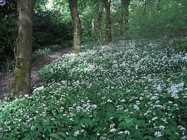
Image: © michael ely Taken: 7 May 2009
The footpath, seen left of shot, links Underwood Way with Buckstones Road. The wild garlic is in bloom on the woodland floor.
Images are licensed for reuse under creativecommons.org/licenses/by-sa/2.0
Image Location
Latitude
53.5853
Longitude
-2.080323