End of the Holly Brook board-walk
Introduction
The photograph on this page of End of the Holly Brook board-walk by Jim Champion as part of the Geograph project.
The Geograph project started in 2005 with the aim of publishing, organising and preserving representative images for every square kilometre of Great Britain, Ireland and the Isle of Man.

There are currently over 7.5m images from over 14,400 individuals and you can help contribute to the project by visiting https://www.geograph.org.uk
End of the Holly Brook board-walk
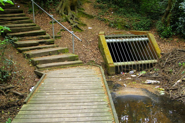
Image: © Jim Champion Taken: 4 May 2009
This is the downstream end of the Holly Brook board-walk, where the path leads up steps to the recreation ground and the stream enters a tunnel beneath the recreation ground. All part of the Lordsdale Greenway.
Images are licensed for reuse under creativecommons.org/licenses/by-sa/2.0
Image Location
Latitude
50.928314
Longitude
-1.434635