Hill of Cloverycrook
Introduction
The photograph on this page of Hill of Cloverycrook by Anne Burgess as part of the Geograph project.
The Geograph project started in 2005 with the aim of publishing, organising and preserving representative images for every square kilometre of Great Britain, Ireland and the Isle of Man.

There are currently over 7.5m images from over 14,400 individuals and you can help contribute to the project by visiting https://www.geograph.org.uk
Hill of Cloverycrook
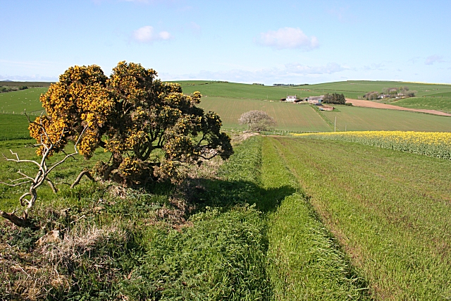
Image: © Anne Burgess Taken: 7 May 2009
The farmer has left a very wide margin at the edge of the rape crop, presumably for environmental reasons. The farm in the distance is Springleys, and Ladenhar is still further away and to the right.
Images are licensed for reuse under creativecommons.org/licenses/by-sa/2.0
Image Location
Latitude
57.399135
Longitude
-2.416307