Meadow with rocks, Westcott
Introduction
The photograph on this page of Meadow with rocks, Westcott by Derek Harper as part of the Geograph project.
The Geograph project started in 2005 with the aim of publishing, organising and preserving representative images for every square kilometre of Great Britain, Ireland and the Isle of Man.

There are currently over 7.5m images from over 14,400 individuals and you can help contribute to the project by visiting https://www.geograph.org.uk
Meadow with rocks, Westcott
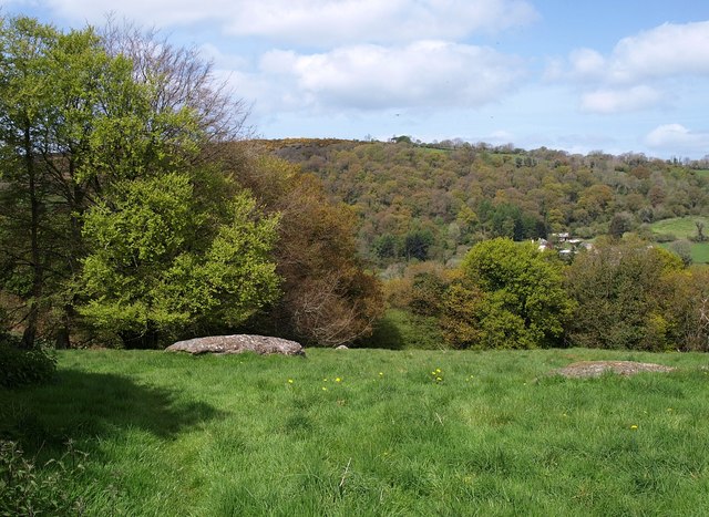
Image: © Derek Harper Taken: 2 May 2009
Bridford Footpath 34 crosses this field, which is liberally scattered with outcrops of granite. Beyond is the Doccombe valley.
Images are licensed for reuse under creativecommons.org/licenses/by-sa/2.0
Image Location
Latitude
50.671451
Longitude
-3.716522