The Greystown Road near Downpatrick
Introduction
The photograph on this page of The Greystown Road near Downpatrick by Albert Bridge as part of the Geograph project.
The Geograph project started in 2005 with the aim of publishing, organising and preserving representative images for every square kilometre of Great Britain, Ireland and the Isle of Man.

There are currently over 7.5m images from over 14,400 individuals and you can help contribute to the project by visiting https://www.geograph.org.uk
The Greystown Road near Downpatrick
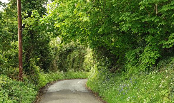
Image: © Albert Bridge Taken: 6 May 2009
The Greystown Road runs across country from the Belfast Road Image to the Killyleagh Road Image The view is towards the latter. Continue to Image
Images are licensed for reuse under creativecommons.org/licenses/by-sa/2.0
Image Location
Latitude
54.360525
Longitude
-5.728295