Nutts Lane, Rode
Introduction
The photograph on this page of Nutts Lane, Rode by Nigel Mykura as part of the Geograph project.
The Geograph project started in 2005 with the aim of publishing, organising and preserving representative images for every square kilometre of Great Britain, Ireland and the Isle of Man.

There are currently over 7.5m images from over 14,400 individuals and you can help contribute to the project by visiting https://www.geograph.org.uk
Nutts Lane, Rode
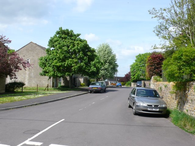
Image: © Nigel Mykura Taken: 2 May 2009
Nutts lane is a small reisential road in the village of Rode just north of Frome.
Images are licensed for reuse under creativecommons.org/licenses/by-sa/2.0
Image Location
Latitude
51.283454
Longitude
-2.279834