Kings Road
Introduction
The photograph on this page of Kings Road by Gerald England as part of the Geograph project.
The Geograph project started in 2005 with the aim of publishing, organising and preserving representative images for every square kilometre of Great Britain, Ireland and the Isle of Man.

There are currently over 7.5m images from over 14,400 individuals and you can help contribute to the project by visiting https://www.geograph.org.uk
Kings Road
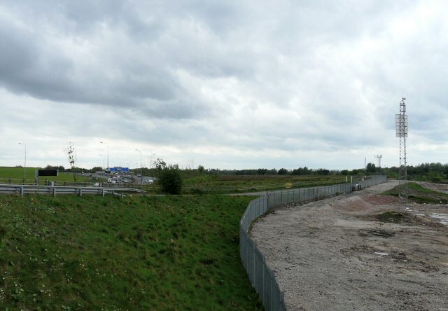
Image: © Gerald England Taken: 6 May 2009
Road from Audenshaw to Debdale used as part of the Tameside Trail. On one side is the M60 motorway Image and on the other is recently reclaimed industrial land Image
Images are licensed for reuse under creativecommons.org/licenses/by-sa/2.0
Image Location
Latitude
53.471727
Longitude
-2.135246