NT cottages on road to Pentire Farm
Introduction
The photograph on this page of NT cottages on road to Pentire Farm by Andy F as part of the Geograph project.
The Geograph project started in 2005 with the aim of publishing, organising and preserving representative images for every square kilometre of Great Britain, Ireland and the Isle of Man.

There are currently over 7.5m images from over 14,400 individuals and you can help contribute to the project by visiting https://www.geograph.org.uk
NT cottages on road to Pentire Farm
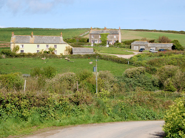
Image: © Andy F Taken: 2 May 2009
Looking north to the National Trust cottages on the lane to Pentire Farm. On the left is Overhaven and in the centre are West Cottage and East Cottage.
Images are licensed for reuse under creativecommons.org/licenses/by-sa/2.0
Image Location


Leaflet Map data © OpenStreetMap
Latitude
50.582341
Longitude
-4.906837