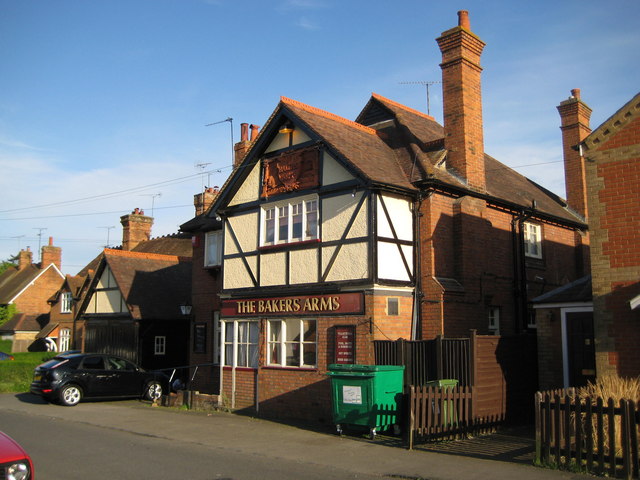
Waddesdon: The Bakers Arms
Introduction
The photograph on this page of Waddesdon: The Bakers Arms by Nigel Cox as part of the Geograph project.
The Geograph project started in 2005 with the aim of publishing, organising and preserving representative images for every square kilometre of Great Britain, Ireland and the Isle of Man.
There are currently over 7.5m images from over 14,400 individuals and you can help contribute to the project by visiting https://www.geograph.org.uk

Image: © Nigel Cox Taken: 3 May 2009
The old Ordnance Survey map of 1884 shows The Bakers Arms as a building set back some distance from the road. However by the time that the 1900 Edition was published it had been moved and rebuilt in its current location. The attractive terracotta tablet in the gable end has a carving of a baker at work using an oven. The road outside is of course called Baker Street.

