Farmland above Gwastadgoed
Introduction
The photograph on this page of Farmland above Gwastadgoed by Barry Hunter as part of the Geograph project.
The Geograph project started in 2005 with the aim of publishing, organising and preserving representative images for every square kilometre of Great Britain, Ireland and the Isle of Man.

There are currently over 7.5m images from over 14,400 individuals and you can help contribute to the project by visiting https://www.geograph.org.uk
Farmland above Gwastadgoed
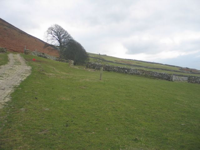
Image: © Barry Hunter Taken: 26 Feb 2006
Gently sloping fields on the lower slopes of Pen y Garn, just above the A493.
Images are licensed for reuse under creativecommons.org/licenses/by-sa/2.0
Image Location
Latitude
52.674211
Longitude
-4.074129