Iron Gate near Sling
Introduction
The photograph on this page of Iron Gate near Sling by mick finn as part of the Geograph project.
The Geograph project started in 2005 with the aim of publishing, organising and preserving representative images for every square kilometre of Great Britain, Ireland and the Isle of Man.

There are currently over 7.5m images from over 14,400 individuals and you can help contribute to the project by visiting https://www.geograph.org.uk
Iron Gate near Sling
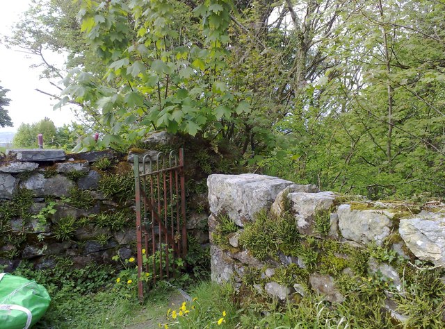
Image: © mick finn Taken: 2 May 2009
Iron gate on a public footpath at the old school, Sling. The path descends steeply through the woods to the road below.
Images are licensed for reuse under creativecommons.org/licenses/by-sa/2.0
Image Location
Latitude
53.177371
Longitude
-4.092943