2009 : A431 at Bitton
Introduction
The photograph on this page of 2009 : A431 at Bitton by Maurice Pullin as part of the Geograph project.
The Geograph project started in 2005 with the aim of publishing, organising and preserving representative images for every square kilometre of Great Britain, Ireland and the Isle of Man.

There are currently over 7.5m images from over 14,400 individuals and you can help contribute to the project by visiting https://www.geograph.org.uk
2009 : A431 at Bitton
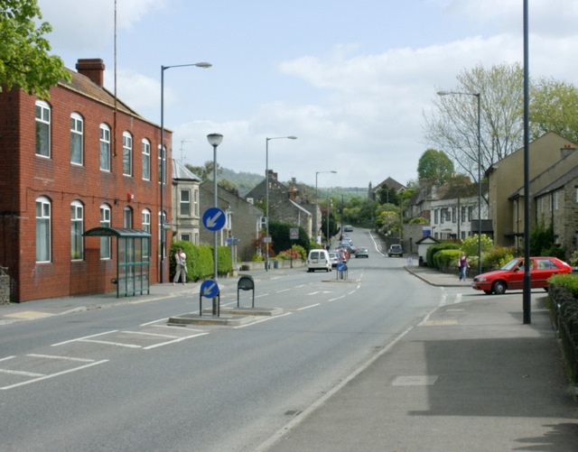
Image: © Maurice Pullin Taken: 2 May 2009
Looking south east toward Kelston and Bath. The village is at the half way point between Bristol and Bath, 6 miles each way.
Images are licensed for reuse under creativecommons.org/licenses/by-sa/2.0
Image Location
Latitude
51.424776
Longitude
-2.459617