Roselands Drive
Introduction
The photograph on this page of Roselands Drive by Derek Harper as part of the Geograph project.
The Geograph project started in 2005 with the aim of publishing, organising and preserving representative images for every square kilometre of Great Britain, Ireland and the Isle of Man.

There are currently over 7.5m images from over 14,400 individuals and you can help contribute to the project by visiting https://www.geograph.org.uk
Roselands Drive
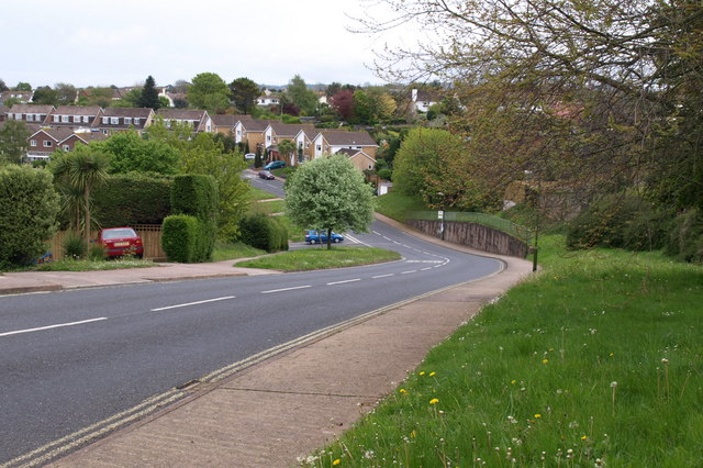
Image: © Derek Harper Taken: 30 Apr 2009
Part of a large estate west of Goodrington, seen from the start of a short footpath that links to the nearby Brixham Road.
Images are licensed for reuse under creativecommons.org/licenses/by-sa/2.0
Image Location
Latitude
50.415618
Longitude
-3.580574