Biart Place flats
Introduction
The photograph on this page of Biart Place flats by Andy F as part of the Geograph project.
The Geograph project started in 2005 with the aim of publishing, organising and preserving representative images for every square kilometre of Great Britain, Ireland and the Isle of Man.

There are currently over 7.5m images from over 14,400 individuals and you can help contribute to the project by visiting https://www.geograph.org.uk
Biart Place flats
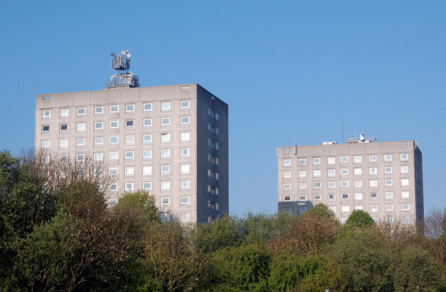
Image: © Andy F Taken: 28 Apr 2009
Tower blocks at Biart Place, seen from Clifton Road.
Images are licensed for reuse under creativecommons.org/licenses/by-sa/2.0
Image Location
Latitude
52.375469
Longitude
-1.241835