Farm yard in Barrowden
Introduction
The photograph on this page of Farm yard in Barrowden by Michael Trolove as part of the Geograph project.
The Geograph project started in 2005 with the aim of publishing, organising and preserving representative images for every square kilometre of Great Britain, Ireland and the Isle of Man.

There are currently over 7.5m images from over 14,400 individuals and you can help contribute to the project by visiting https://www.geograph.org.uk
Farm yard in Barrowden
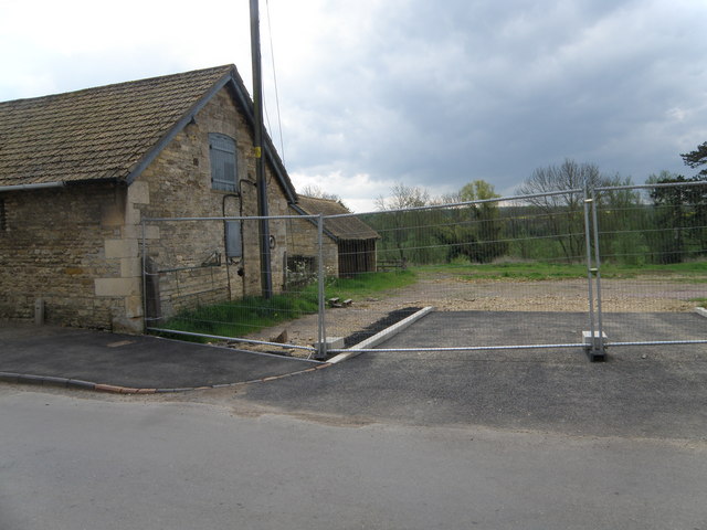
Image: © Michael Trolove Taken: 1 May 2009
Pictured before developers change the local landscape with a housing development.
Images are licensed for reuse under creativecommons.org/licenses/by-sa/2.0
Image Location
Latitude
52.590151
Longitude
-0.607664