De La Pole Arms
Introduction
The photograph on this page of De La Pole Arms by Keith Evans as part of the Geograph project.
The Geograph project started in 2005 with the aim of publishing, organising and preserving representative images for every square kilometre of Great Britain, Ireland and the Isle of Man.

There are currently over 7.5m images from over 14,400 individuals and you can help contribute to the project by visiting https://www.geograph.org.uk
De La Pole Arms
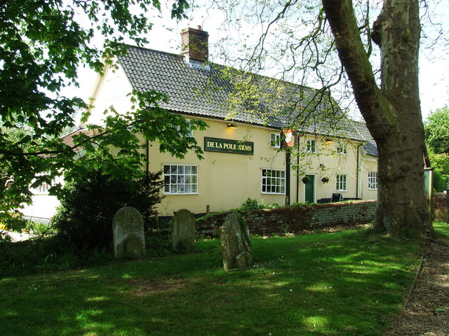
Image: © Keith Evans Taken: 3 May 2009
The De La Pole Arms as seen from the churchyard Wingfield, Suffolk. For close up view of the pub sign see http://www.geograph.org.uk/photo/1286813
Images are licensed for reuse under creativecommons.org/licenses/by-sa/2.0
Image Location
Latitude
52.344473
Longitude
1.271424