Communication masts on Portsdown Hill (2)
Introduction
The photograph on this page of Communication masts on Portsdown Hill (2) by Basher Eyre as part of the Geograph project.
The Geograph project started in 2005 with the aim of publishing, organising and preserving representative images for every square kilometre of Great Britain, Ireland and the Isle of Man.

There are currently over 7.5m images from over 14,400 individuals and you can help contribute to the project by visiting https://www.geograph.org.uk
Communication masts on Portsdown Hill (2)
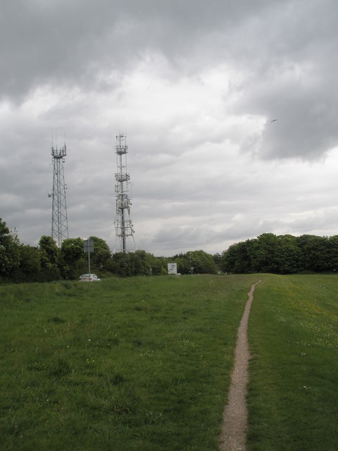
Image: © Basher Eyre Taken: 4 May 2009
This one taken from the path leading to the start of the Candy's Pit Trail.
Images are licensed for reuse under creativecommons.org/licenses/by-sa/2.0
Image Location
Latitude
50.853978
Longitude
-1.062329