Footpath, Brokerswood
Introduction
The photograph on this page of Footpath, Brokerswood by Maigheach-gheal as part of the Geograph project.
The Geograph project started in 2005 with the aim of publishing, organising and preserving representative images for every square kilometre of Great Britain, Ireland and the Isle of Man.

There are currently over 7.5m images from over 14,400 individuals and you can help contribute to the project by visiting https://www.geograph.org.uk
Footpath, Brokerswood
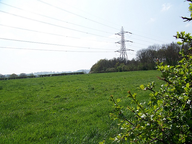
Image: © Maigheach-gheal Taken: 19 Apr 2009
The footpath heads across the field to follow the edge of Round Wood while on its way to Fairwood Road.
Images are licensed for reuse under creativecommons.org/licenses/by-sa/2.0
Image Location
Latitude
51.270532
Longitude
-2.226289