Houses, Eythrope Road
Introduction
The photograph on this page of Houses, Eythrope Road by Andy Gryce as part of the Geograph project.
The Geograph project started in 2005 with the aim of publishing, organising and preserving representative images for every square kilometre of Great Britain, Ireland and the Isle of Man.

There are currently over 7.5m images from over 14,400 individuals and you can help contribute to the project by visiting https://www.geograph.org.uk
Houses, Eythrope Road
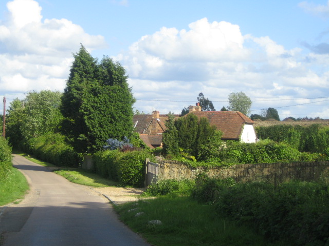
Image: © Andy Gryce Taken: 19 May 2007
These houses are on the edge of the village of Stone from where the road is coming. At this point, behind the camera, the road becomes a private road to Eythrope Park though it is a bridleway and is on the route of the Midshire's Way and Swan's Way.
Images are licensed for reuse under creativecommons.org/licenses/by-sa/2.0
Image Location
Latitude
51.807529
Longitude
-0.872397