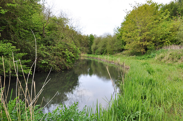
River Kenson at Burton Bridges
Introduction
The photograph on this page of River Kenson at Burton Bridges by Mick Lobb as part of the Geograph project.
The Geograph project started in 2005 with the aim of publishing, organising and preserving representative images for every square kilometre of Great Britain, Ireland and the Isle of Man.
There are currently over 7.5m images from over 14,400 individuals and you can help contribute to the project by visiting https://www.geograph.org.uk

Image: © Mick Lobb Taken: 3 May 2009
Idyllic as it appears, this stretch of the river is quite heavily polluted and there is little if any hope of seeing a Kingisher at this point - unless it is passing through! Update per Dylan Moore: Leet of Burton Old Mill, which was situated just south of the sluice gate, and ceased to function just before the cement plant started up in 1912. After that, the cement plant pumped process water from it for many years. The mill was called Wood Mill on the OS First Edition, and Burton Mill subsequently. On reflection, the mill might have shut down when the Llantrisant-Aberthaw railway was built, but it's not shown as disused on the 1899 map.

