Old railway bridge, St Kew Highway
Introduction
The photograph on this page of Old railway bridge, St Kew Highway by Andy F as part of the Geograph project.
The Geograph project started in 2005 with the aim of publishing, organising and preserving representative images for every square kilometre of Great Britain, Ireland and the Isle of Man.

There are currently over 7.5m images from over 14,400 individuals and you can help contribute to the project by visiting https://www.geograph.org.uk
Old railway bridge, St Kew Highway
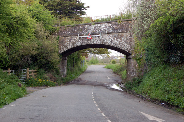
Image: © Andy F Taken: 30 Apr 2009
Looking east at the disused railway bridge which once carried the North Cornwall Railway's line from Halwill to Padstow over the A39 road. The railway closed in the 1960s and the A39 has since been diverted to avoid the low bridge which now spans a lay-by.
Images are licensed for reuse under creativecommons.org/licenses/by-sa/2.0
Image Location
Latitude
50.544499
Longitude
-4.780566