All Saints Church - churchyard
Introduction
The photograph on this page of All Saints Church - churchyard by Evelyn Simak as part of the Geograph project.
The Geograph project started in 2005 with the aim of publishing, organising and preserving representative images for every square kilometre of Great Britain, Ireland and the Isle of Man.

There are currently over 7.5m images from over 14,400 individuals and you can help contribute to the project by visiting https://www.geograph.org.uk
All Saints Church - churchyard
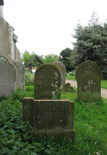
Image: © Evelyn Simak Taken: 3 May 2009
The old headstones stand on the south side of All Saints church, the path leading past here leads to the lych gate at The Street (B1332). For a view of the church see > http://www.geograph.org.uk/photo/1285057.
Images are licensed for reuse under creativecommons.org/licenses/by-sa/2.0
Image Location
Latitude
52.565422
Longitude
1.349548