A disused Mission Church on the Alverdiscott Road, between East the Water & Woodtown.
Introduction
The photograph on this page of A disused Mission Church on the Alverdiscott Road, between East the Water & Woodtown. by Roger A Smith as part of the Geograph project.
The Geograph project started in 2005 with the aim of publishing, organising and preserving representative images for every square kilometre of Great Britain, Ireland and the Isle of Man.

There are currently over 7.5m images from over 14,400 individuals and you can help contribute to the project by visiting https://www.geograph.org.uk
A disused Mission Church on the Alverdiscott Road, between East the Water & Woodtown.
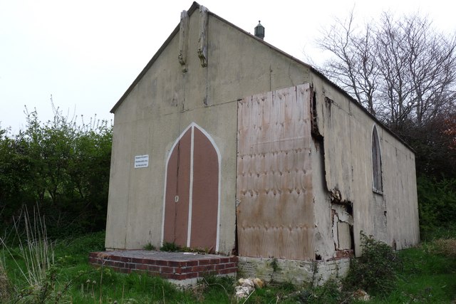
Image: © Roger A Smith Taken: 22 Apr 2009
This church is marked on a map dated 1909.
Images are licensed for reuse under creativecommons.org/licenses/by-sa/2.0
Image Location
Latitude
51.013024
Longitude
-4.170059