Wigan panorama
Introduction
The photograph on this page of Wigan panorama by David Long as part of the Geograph project.
The Geograph project started in 2005 with the aim of publishing, organising and preserving representative images for every square kilometre of Great Britain, Ireland and the Isle of Man.

There are currently over 7.5m images from over 14,400 individuals and you can help contribute to the project by visiting https://www.geograph.org.uk
Wigan panorama
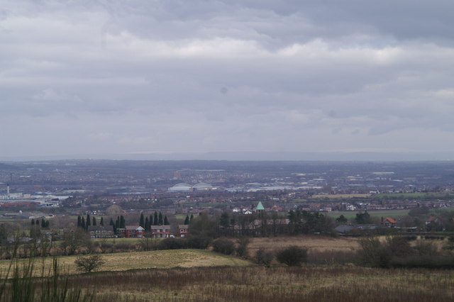
Image: © David Long Taken: 26 Feb 2006
The distinctive green pyramid tower roof of St. Teresa's RC Church points just right of Wigan Warriors/ Athletic's JJB Stadium. The Heinz factory is far left.
Images are licensed for reuse under creativecommons.org/licenses/by-sa/2.0
Image Location
Latitude
53.548418
Longitude
-2.727417