Approaching Rose Farm and cottages by the Stour
Introduction
The photograph on this page of Approaching Rose Farm and cottages by the Stour by Andrew Hill as part of the Geograph project.
The Geograph project started in 2005 with the aim of publishing, organising and preserving representative images for every square kilometre of Great Britain, Ireland and the Isle of Man.

There are currently over 7.5m images from over 14,400 individuals and you can help contribute to the project by visiting https://www.geograph.org.uk
Approaching Rose Farm and cottages by the Stour
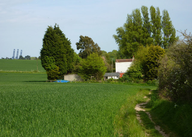
Image: © Andrew Hill Taken: 2 May 2009
The estuary is immediately to the right of the hedge.
Images are licensed for reuse under creativecommons.org/licenses/by-sa/2.0
Image Location
Latitude
51.960829
Longitude
1.250384