Metro and East Coast main line
Introduction
The photograph on this page of Metro and East Coast main line by hayley green as part of the Geograph project.
The Geograph project started in 2005 with the aim of publishing, organising and preserving representative images for every square kilometre of Great Britain, Ireland and the Isle of Man.

There are currently over 7.5m images from over 14,400 individuals and you can help contribute to the project by visiting https://www.geograph.org.uk
Metro and East Coast main line
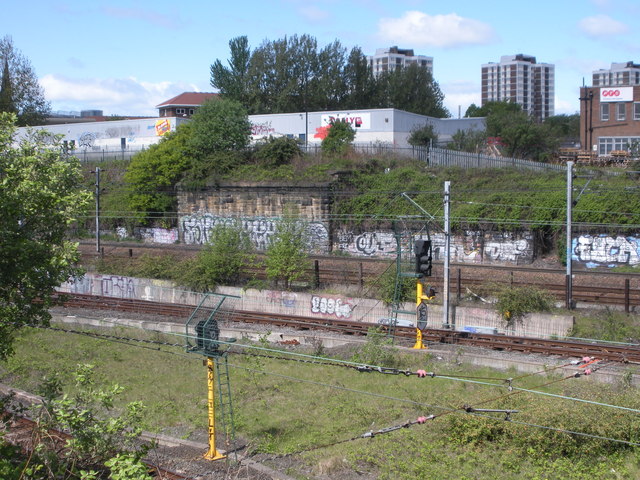
Image: © hayley green Taken: 3 May 2009
Taken through the fence at the bottom of Shieldfield / onto Byker bridge, this shows the metro line (nearest) and the East Coast main lines, as well as the Shieldfield flats in the distance
Images are licensed for reuse under creativecommons.org/licenses/by-sa/2.0
Image Location
Latitude
54.974899
Longitude
-1.598315