Wide Grassy Path
Introduction
The photograph on this page of Wide Grassy Path by Phil Bull as part of the Geograph project.
The Geograph project started in 2005 with the aim of publishing, organising and preserving representative images for every square kilometre of Great Britain, Ireland and the Isle of Man.

There are currently over 7.5m images from over 14,400 individuals and you can help contribute to the project by visiting https://www.geograph.org.uk
Wide Grassy Path
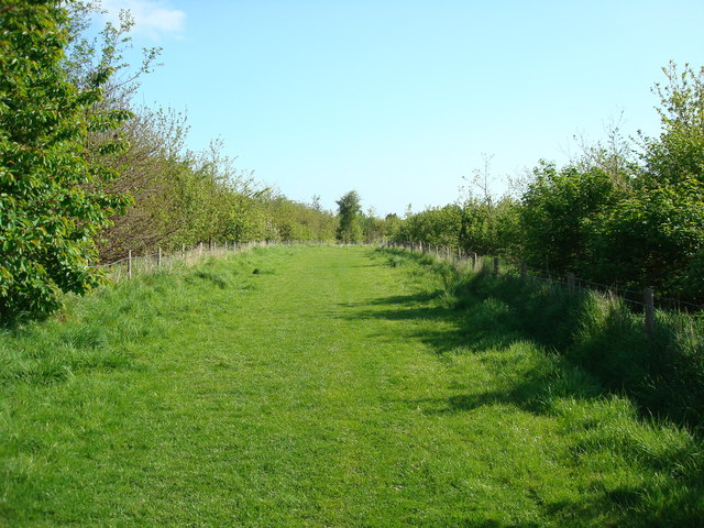
Image: © Phil Bull Taken: 2 May 2009
This is part of a radial path around Bloors Lane Community Woodland.
Images are licensed for reuse under creativecommons.org/licenses/by-sa/2.0
Image Location


Leaflet Map data © OpenStreetMap
Latitude
51.372727
Longitude
0.604403