Pinner Methodist church
Introduction
The photograph on this page of Pinner Methodist church by David Kemp as part of the Geograph project.
The Geograph project started in 2005 with the aim of publishing, organising and preserving representative images for every square kilometre of Great Britain, Ireland and the Isle of Man.

There are currently over 7.5m images from over 14,400 individuals and you can help contribute to the project by visiting https://www.geograph.org.uk
Pinner Methodist church
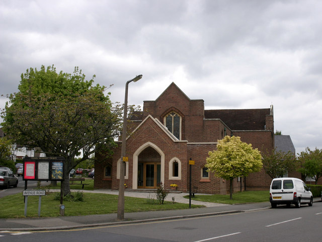
Image: © David Kemp Taken: 30 Apr 2009
The church is situated at the junction of Love Lane and Avenue Road, and was built in 1937.
Images are licensed for reuse under creativecommons.org/licenses/by-sa/2.0
Image Location
Latitude
51.596433
Longitude
-0.382422