Sergeant's Mess, RAF St Athan
Introduction
The photograph on this page of Sergeant's Mess, RAF St Athan by Mick Lobb as part of the Geograph project.
The Geograph project started in 2005 with the aim of publishing, organising and preserving representative images for every square kilometre of Great Britain, Ireland and the Isle of Man.

There are currently over 7.5m images from over 14,400 individuals and you can help contribute to the project by visiting https://www.geograph.org.uk
Sergeant's Mess, RAF St Athan
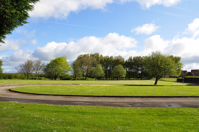
Image: © Mick Lobb Taken: 3 May 2009
Well it was, up until around five years ago although the building is still shown on the maps - including Google! There were two messes for senior NCO's on the site, one served the School of Technical Training and the other, still in existence inside the confines of what is now an MOD establishment, that served the Maintenance Unit. There was some element of choice however because some of the staff working on the west side of camp were housed on the east according to the availability of accommodation for married personnel.
Images are licensed for reuse under creativecommons.org/licenses/by-sa/2.0
Image Location
Latitude
51.414463
Longitude
-3.420222