Worcestershire County Border, A435 at The Maypole Island
Introduction
The photograph on this page of Worcestershire County Border, A435 at The Maypole Island by Roy Hughes as part of the Geograph project.
The Geograph project started in 2005 with the aim of publishing, organising and preserving representative images for every square kilometre of Great Britain, Ireland and the Isle of Man.

There are currently over 7.5m images from over 14,400 individuals and you can help contribute to the project by visiting https://www.geograph.org.uk
Worcestershire County Border, A435 at The Maypole Island
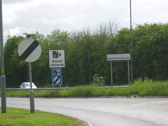
Image: © Roy Hughes Taken: 2 May 2009
Images are licensed for reuse under creativecommons.org/licenses/by-sa/2.0
Image Location
Latitude
52.404096
Longitude
-1.887069