Junction of Oak Lane with A2 looking east
Introduction
The photograph on this page of Junction of Oak Lane with A2 looking east by Penny Mayes as part of the Geograph project.
The Geograph project started in 2005 with the aim of publishing, organising and preserving representative images for every square kilometre of Great Britain, Ireland and the Isle of Man.

There are currently over 7.5m images from over 14,400 individuals and you can help contribute to the project by visiting https://www.geograph.org.uk
Junction of Oak Lane with A2 looking east
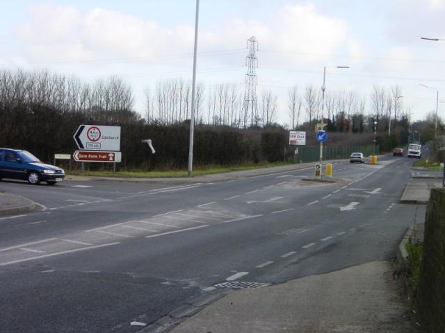
Image: © Penny Mayes Taken: 23 Feb 2004
The A2 follows the route of the Roman road Watling Street for much of its length.
Images are licensed for reuse under creativecommons.org/licenses/by-sa/2.0
Image Location


Leaflet Map data © OpenStreetMap
Latitude
51.358583
Longitude
0.633623