Crossroads at the centre of Rayne village
Introduction
The photograph on this page of Crossroads at the centre of Rayne village by Robert Edwards as part of the Geograph project.
The Geograph project started in 2005 with the aim of publishing, organising and preserving representative images for every square kilometre of Great Britain, Ireland and the Isle of Man.

There are currently over 7.5m images from over 14,400 individuals and you can help contribute to the project by visiting https://www.geograph.org.uk
Crossroads at the centre of Rayne village
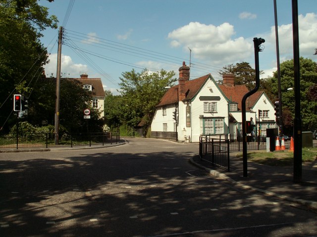
Image: © Robert Edwards Taken: 1 May 2009
The view is from Gore Road. Shalford Road is straight ahead, The Street is off to the left and Rayne Road is off to the right. The white building is 'The Swan' inn.
Images are licensed for reuse under creativecommons.org/licenses/by-sa/2.0
Image Location
Latitude
51.87599
Longitude
0.513816