Sneinton Dale
Introduction
The photograph on this page of Sneinton Dale by David Lally as part of the Geograph project.
The Geograph project started in 2005 with the aim of publishing, organising and preserving representative images for every square kilometre of Great Britain, Ireland and the Isle of Man.

There are currently over 7.5m images from over 14,400 individuals and you can help contribute to the project by visiting https://www.geograph.org.uk
Sneinton Dale
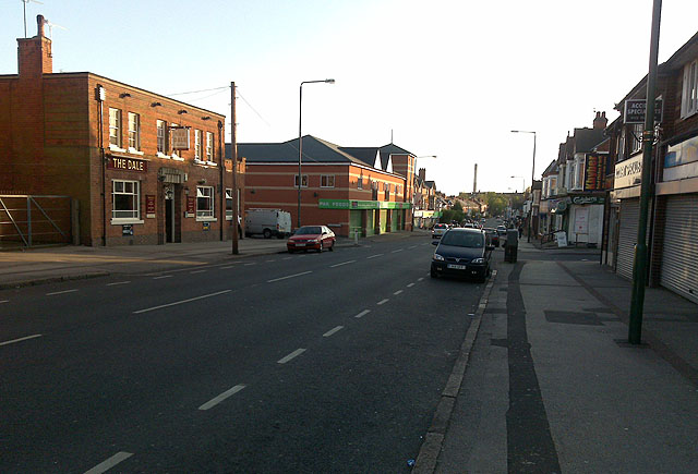
Image: © David Lally Taken: 19 Apr 2009
Looking south west toward Nottingham Centre. With The Dale public house on the left.
Images are licensed for reuse under creativecommons.org/licenses/by-sa/2.0
Image Location
Latitude
52.953974
Longitude
-1.122504