Stonehouse Institute
Introduction
The photograph on this page of Stonehouse Institute by Paul Nardone as part of the Geograph project.
The Geograph project started in 2005 with the aim of publishing, organising and preserving representative images for every square kilometre of Great Britain, Ireland and the Isle of Man.

There are currently over 7.5m images from over 14,400 individuals and you can help contribute to the project by visiting https://www.geograph.org.uk
Stonehouse Institute
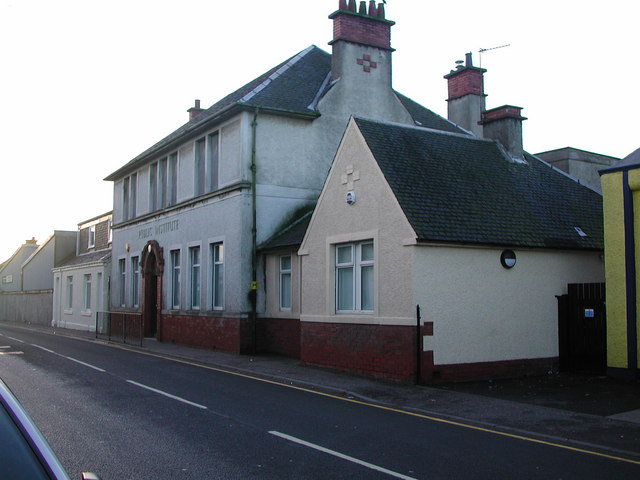
Image: © Paul Nardone Taken: Unknown
Stonehouse Institute was built in the early 1900's and is situated on New Street about 50 metres away from the cross. The hall comprises a main hall, meeting room, two small committee rooms, kitchen and toilets. There is also a lesser hall upstairs.
Images are licensed for reuse under creativecommons.org/licenses/by-sa/2.0
Image Location
Latitude
55.699383
Longitude
-3.979977