The Hope Tavern
Introduction
The photograph on this page of The Hope Tavern by David Stowell as part of the Geograph project.
The Geograph project started in 2005 with the aim of publishing, organising and preserving representative images for every square kilometre of Great Britain, Ireland and the Isle of Man.

There are currently over 7.5m images from over 14,400 individuals and you can help contribute to the project by visiting https://www.geograph.org.uk
The Hope Tavern
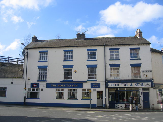
Image: © David Stowell Taken: 25 Feb 2006
A traditional pub on the corner of Court Street and High Street. The fence above the roof to the left is the edge of the railway viaduct, formerly the LNWR/LMS line to Rugby.
Images are licensed for reuse under creativecommons.org/licenses/by-sa/2.0
Image Location
Latitude
52.28311
Longitude
-1.530874