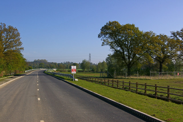
Orchard Drive
Introduction
The photograph on this page of Orchard Drive by Ian Capper as part of the Geograph project.
The Geograph project started in 2005 with the aim of publishing, organising and preserving representative images for every square kilometre of Great Britain, Ireland and the Isle of Man.
There are currently over 7.5m images from over 14,400 individuals and you can help contribute to the project by visiting https://www.geograph.org.uk

Image: © Ian Capper Taken: 26 Apr 2009
Not yet shown on maps at the date of submission. Orchard Drive links Cross Oak Lane and Langshott, giving access to a new development, The Acres. This is the middle section, just south of where it crosses Burstow Stream. The fending round the trees on the right are to protect them from damage during building work, as the site expands.

