Moorland and farmland, Sutton
Introduction
The photograph on this page of Moorland and farmland, Sutton by Humphrey Bolton as part of the Geograph project.
The Geograph project started in 2005 with the aim of publishing, organising and preserving representative images for every square kilometre of Great Britain, Ireland and the Isle of Man.

There are currently over 7.5m images from over 14,400 individuals and you can help contribute to the project by visiting https://www.geograph.org.uk
Moorland and farmland, Sutton
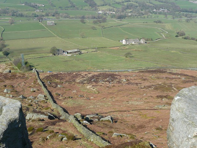
Image: © Humphrey Bolton Taken: 29 Mar 2009
One of the views from Earl Crag. The radio mast can be seen on the left, then two farms and a long wiggly driveway.
Images are licensed for reuse under creativecommons.org/licenses/by-sa/2.0
Image Location


Leaflet Map data © OpenStreetMap
Latitude
53.884986
Longitude
-2.024305