Road junctions at Lazenby
Introduction
The photograph on this page of Road junctions at Lazenby by Stephen McCulloch as part of the Geograph project.
The Geograph project started in 2005 with the aim of publishing, organising and preserving representative images for every square kilometre of Great Britain, Ireland and the Isle of Man.

There are currently over 7.5m images from over 14,400 individuals and you can help contribute to the project by visiting https://www.geograph.org.uk
Road junctions at Lazenby
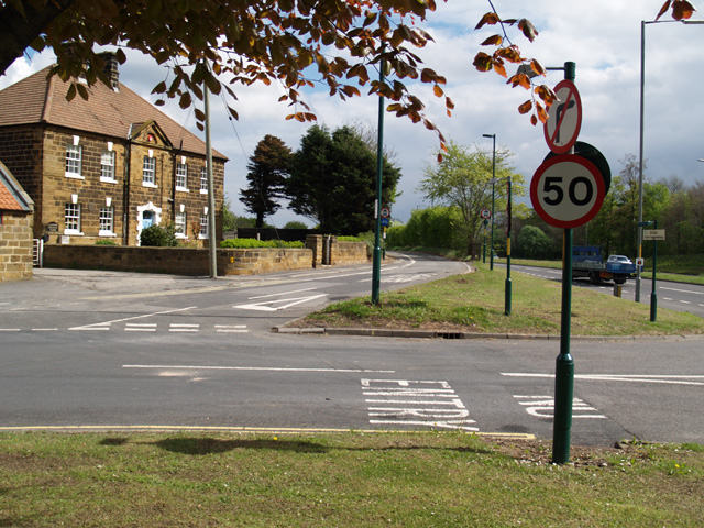
Image: © Stephen McCulloch Taken: 1 May 2009
On the left is Lazenby Farm and on the extreme right the A174. The road in the foreground is High Street and runs left into Lazenby village. Opposite is the link road featured here Image
Images are licensed for reuse under creativecommons.org/licenses/by-sa/2.0
Image Location
Latitude
54.570606
Longitude
-1.111504