Former mill site
Introduction
The photograph on this page of Former mill site by Dennis Turner as part of the Geograph project.
The Geograph project started in 2005 with the aim of publishing, organising and preserving representative images for every square kilometre of Great Britain, Ireland and the Isle of Man.

There are currently over 7.5m images from over 14,400 individuals and you can help contribute to the project by visiting https://www.geograph.org.uk
Former mill site
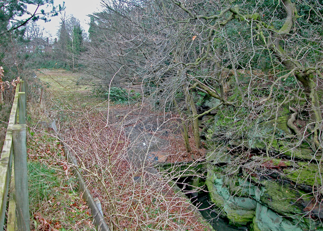
Image: © Dennis Turner Taken: 28 Feb 2009
The site of a mill held by the Abbey of Chester which appears to have existed for 700 years until the Windmill was erected in Mill Lane. It became part of the garden of Bache Hall when the Hall was re-built after the Civil War.
Images are licensed for reuse under creativecommons.org/licenses/by-sa/2.0
Image Location
Latitude
53.20642
Longitude
-2.895289