Ford and footbridge over Shildon Burn
Introduction
The photograph on this page of Ford and footbridge over Shildon Burn by Oliver Dixon as part of the Geograph project.
The Geograph project started in 2005 with the aim of publishing, organising and preserving representative images for every square kilometre of Great Britain, Ireland and the Isle of Man.

There are currently over 7.5m images from over 14,400 individuals and you can help contribute to the project by visiting https://www.geograph.org.uk
Ford and footbridge over Shildon Burn
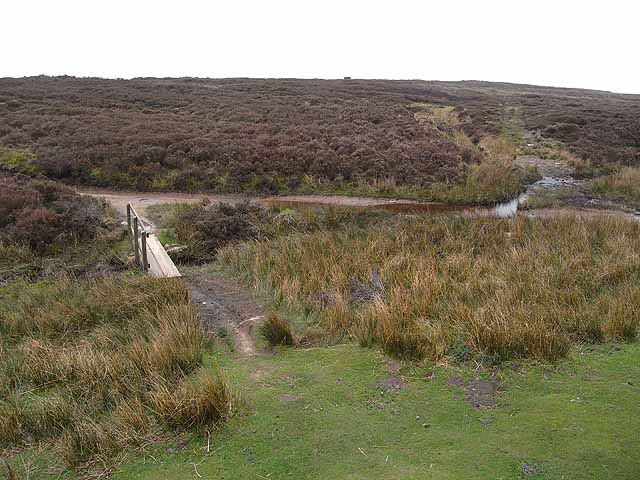
Image: © Oliver Dixon Taken: 30 Apr 2009
Two ancient roads over Blanchland Moor divide at Pennypie House. In the picture is the branch to Baybridge, seen from the branch to Blanchland village.
Images are licensed for reuse under creativecommons.org/licenses/by-sa/2.0
Image Location
Latitude
54.860601
Longitude
-2.07973