Breamore House
Introduction
The photograph on this page of Breamore House by Maigheach-gheal as part of the Geograph project.
The Geograph project started in 2005 with the aim of publishing, organising and preserving representative images for every square kilometre of Great Britain, Ireland and the Isle of Man.

There are currently over 7.5m images from over 14,400 individuals and you can help contribute to the project by visiting https://www.geograph.org.uk
Breamore House
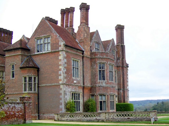
Image: © Maigheach-gheal Taken: 14 Apr 2009
Grade II listed mansion built in 1583 with minor changes made in the 18th century. After a fire in 1856 there was considerable restoration.
Images are licensed for reuse under creativecommons.org/licenses/by-sa/2.0
Image Location


Leaflet Map data © OpenStreetMap
Latitude
50.970397
Longitude
-1.784045