The Twitchell, off Chilwell High Road
Introduction
The photograph on this page of The Twitchell, off Chilwell High Road by David Lally as part of the Geograph project.
The Geograph project started in 2005 with the aim of publishing, organising and preserving representative images for every square kilometre of Great Britain, Ireland and the Isle of Man.

There are currently over 7.5m images from over 14,400 individuals and you can help contribute to the project by visiting https://www.geograph.org.uk
The Twitchell, off Chilwell High Road
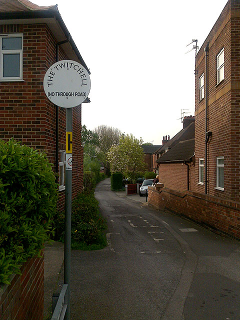
Image: © David Lally Taken: 23 Apr 2009
A Twitchel is the local dialect word for an alleyway. Here one example is actually named as such.
Images are licensed for reuse under creativecommons.org/licenses/by-sa/2.0
Image Location
Latitude
52.919119
Longitude
-1.227097