Quintrell Downs
Introduction
The photograph on this page of Quintrell Downs by Tony Atkin as part of the Geograph project.
The Geograph project started in 2005 with the aim of publishing, organising and preserving representative images for every square kilometre of Great Britain, Ireland and the Isle of Man.

There are currently over 7.5m images from over 14,400 individuals and you can help contribute to the project by visiting https://www.geograph.org.uk
Quintrell Downs
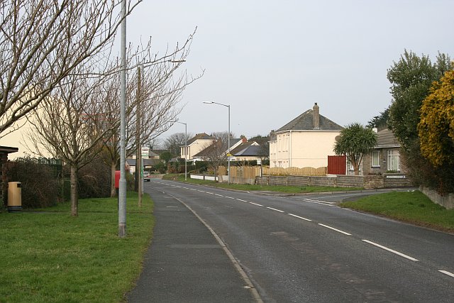
Image: © Tony Atkin Taken: 25 Feb 2006
Looking westward along the A392. Quintrell Downs is a village-like settlement just outside Newquay which has grown out from the crossroads since the 1940s.
Images are licensed for reuse under creativecommons.org/licenses/by-sa/2.0
Image Location
Latitude
50.402289
Longitude
-5.025423