Millicent Road, West Bridgford
Introduction
The photograph on this page of Millicent Road, West Bridgford by Kate Jewell as part of the Geograph project.
The Geograph project started in 2005 with the aim of publishing, organising and preserving representative images for every square kilometre of Great Britain, Ireland and the Isle of Man.

There are currently over 7.5m images from over 14,400 individuals and you can help contribute to the project by visiting https://www.geograph.org.uk
Millicent Road, West Bridgford
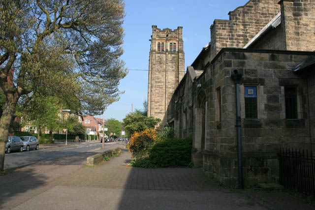
Image: © Kate Jewell Taken: 22 Apr 2009
With the Friary United Reformed Church to the right which opened in 1901 as the Friary Congregational Church.
Images are licensed for reuse under creativecommons.org/licenses/by-sa/2.0
Image Location
Latitude
52.934346
Longitude
-1.133019